Mitch Blank's North-German Genealogy Site

Let me know if we are researching the same people or places.


Name and place indexes for this entire web site.

Information on just Kreis Greifenberg, Pommern.

Introduction to this web site.
Copyright ©1998-2018 by Mitch Blank
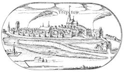
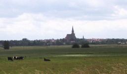
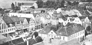
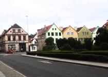
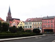
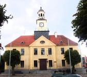
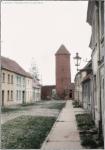
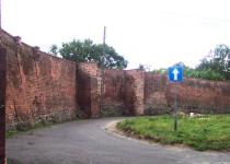
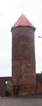
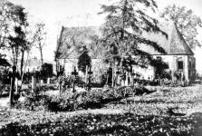
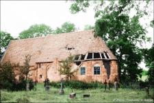
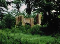
Treptow
(or 'Treptow an der Rega', now Trzebiatow)
Kreis Greifenberg, Pommern
(Click on picture for larger image)


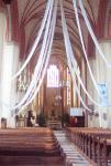
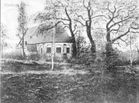
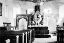
Related Families in Treptow
Navigation
Let me know if we are researching the same people or places.
Name and place indexes for this entire web site.
Information on just Kreis Greifenberg, Pommern.
Introduction to this web site.
This page created December 16th, 2000, updated March 20th, 2018
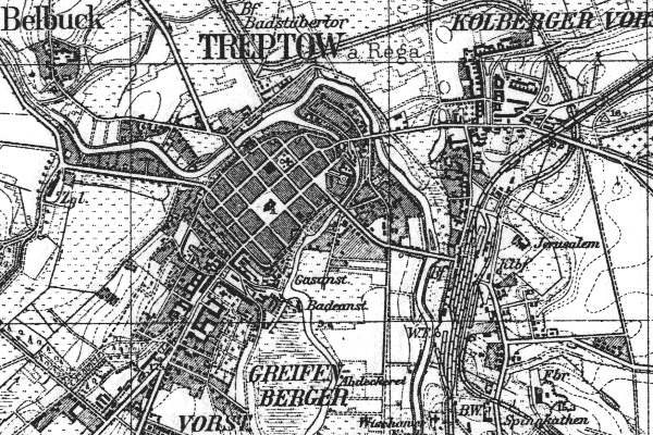
Kreis Greifenberg, Pommern
(Click on picture for larger image)
| |
| To zoom out to a larger area map click here. | |
|---|---|
Map dates from 1890, updated 1929. It covers an area of approximately 2.5 by 1.7 km (1.6 by 1.1 US miles).
Map image was adapted from 1:25K Prussian Landsaufnahme, page 1957
The following table shows which of the individuals included in this web site are connected to Treptow and over what time span they are found here.


