Mitch Blank's North-German Genealogy Site

Let me know if we are researching the same people or places.


Name and place indexes for this entire web site.

Information on just Kreis Greifenberg, Pommern.

Introduction to this web site.
Copyright ©1998-2018 by Mitch Blank
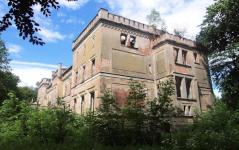
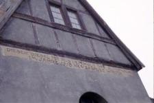
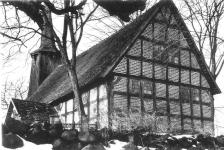
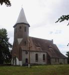
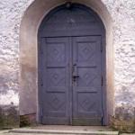
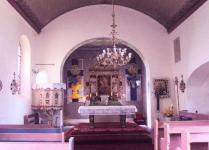
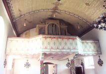
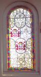
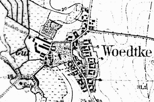
Woedtke
(Now Otok)
Kreis Greifenberg, Pommern
(Click on picture for larger image)
Related Families in Woedtke
Navigation
Let me know if we are researching the same people or places.
Name and place indexes for this entire web site.
Information on just Kreis Greifenberg, Pommern.
Introduction to this web site.
This page created December 11th, 2000, updated May 31st, 2006, last edited September 24th, 2018
Kreis Greifenberg, Pommern
(Click on picture for larger image)
| |
| To zoom out to a larger area map click here. | |
|---|---|
Map dates from 1890, updated 1940. It covers an area of approximately 1.3 by 0.8 km (0.8 by 0.5 US miles).
Map image was adapted from 1:25K Prussian Landsaufnahme, page 2057
The following table shows which of the individuals included in this web site are connected to Woedtke and over what time span they are found here.
| Surname | Given names and the range of dates the person was found in Woedtke |
|---|---|
| Butz |
 Eva Louise 1791..1838 Eva Louise 1791..1838 |
| Froemming / Fröm(m)ing |
Carl Ludwig 1804Dorothea Louisa Carolina 1791Gottfried 1812Johann Christoph 1791..1804 |
| Sohrweide |
Louise Wilhelmine 1823..1855 |
| Wartgow |
 Herrmann Friedrich Wilhelm 1855 Herrmann Friedrich Wilhelm 1855 Martin August 1852..1855Wilhelmine Caroline Ernestine 1852 Martin August 1852..1855Wilhelmine Caroline Ernestine 1852 |
| Wollert |
Sophia Louisa 1807 |