Mitch Blank's North-German Genealogy Site

Let me know if we are researching the same people or places.


Name and place indexes for this entire web site.

Information on just Kreis Greifenberg, Pommern.

Introduction to this web site.
Copyright ©1998-2018 by Mitch Blank
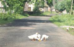
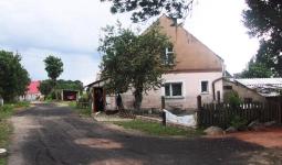
Wangerin
(Now Wegorzyn)
Kreis Greifenberg, Pommern
(Click on picture for larger image)
Related Families in Wangerin
Navigation
Let me know if we are researching the same people or places.
Name and place indexes for this entire web site.
Information on just Kreis Greifenberg, Pommern.
Introduction to this web site.
This page created December 15th, 1999, updated May 17th, 2006, last edited February 19th, 2018
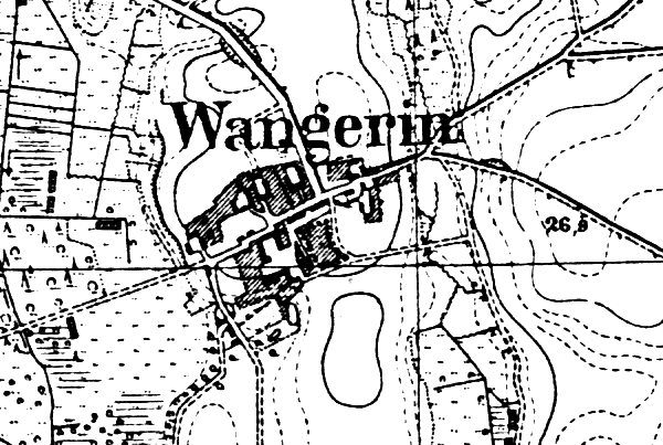
Kreis Greifenberg, Pommern
(Click on picture for larger image)
| |
| To zoom out to a larger area map click here. | |
|---|---|
Map dates from 1890, updated 1929. It covers an area of approximately 1.3 by 0.9 km (0.8 by 0.5 US miles).
Map image was adapted from 1:25K Prussian Landsaufnahme, page 1957
The following table shows which of the individuals included in this web site are connected to Wangerin and over what time span they are found here.
| Surname | Given names and the range of dates the person was found in Wangerin |
|---|---|
| Beise |
 Lydia Auguste Marie 1912..1945 Lydia Auguste Marie 1912..1945 |
| Blank |
Berthold Hermann Albert 1912..1945 Ida 1907 Ida 1907 |
| Block |
Dorothea 1757Joachim 1775..1782Martin 1742..1757 |
| Neimen |
Engel 1757 |
| Salchow |
 Herman 1907 Herman 1907 |